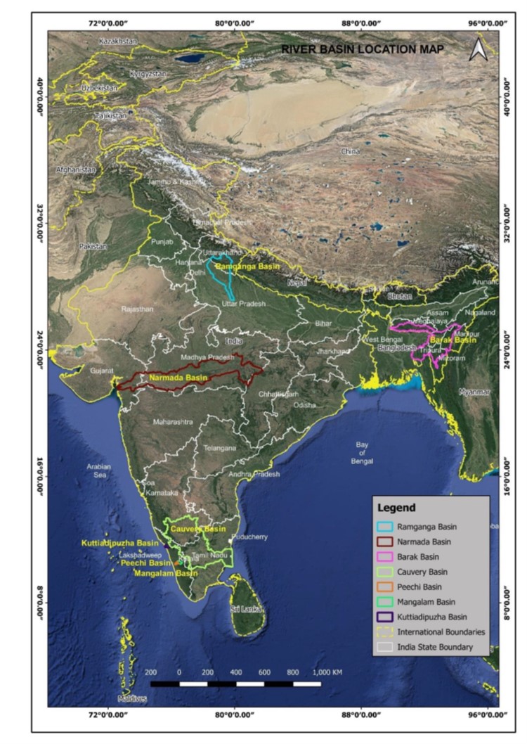

The project mainly deals with mitigating flood risk and river erosion risks. The Phase 1 of the project is spread across three river basins in Assam, India:
The overall aim of the project is to reduce the vulnerability of people to climate-related disasters and improve integrated water resources management in Assam, through 3 project components:
Institutional Strengthening and Strategic Studies
The activities encompass preparing Assam's first State Water Policy, conducting a baseline "State of the Basin Report," and promoting transboundary knowledge on water resources among Bangladesh, Bhutan, India, and the northeast riparian Indian states. Additionally, the plan includes assessing a multi-hazard risk financing strategy with weather-based parametric insurance, enhancing ASDMA's post-disaster needs assessment capacity, and conducting a feasibility study on flash flood forecasting in Assam's mountainous regions.
Water Resources Management
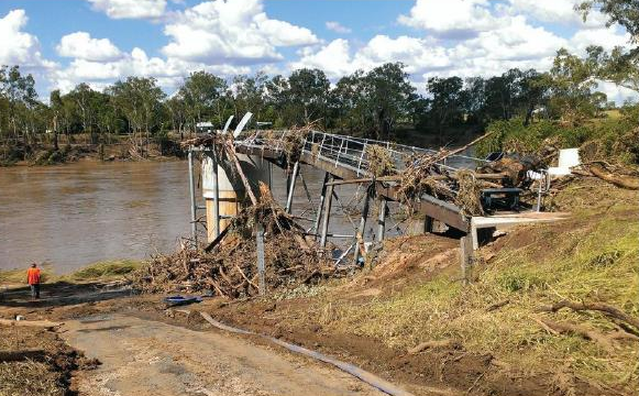
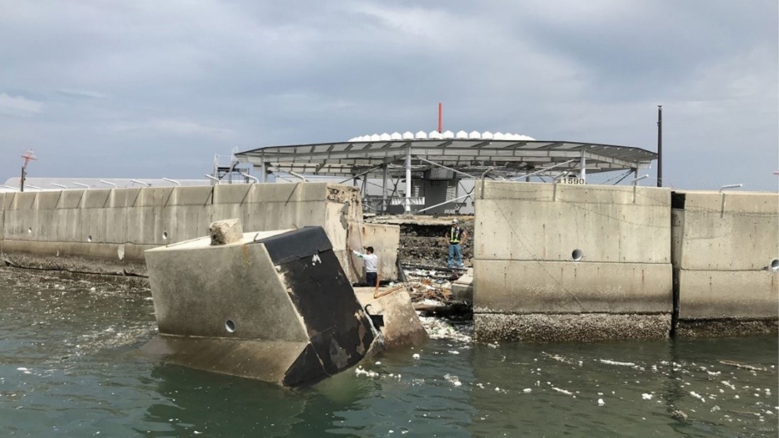
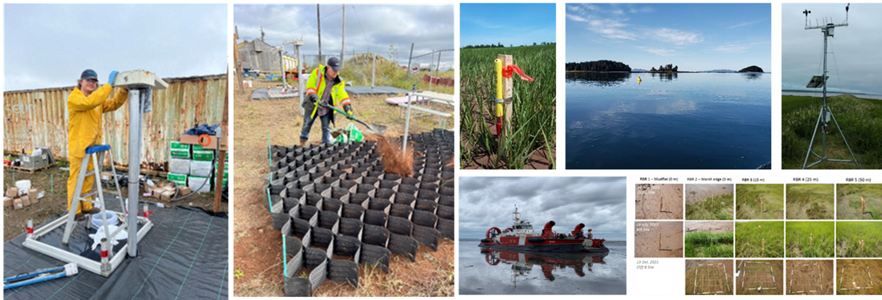
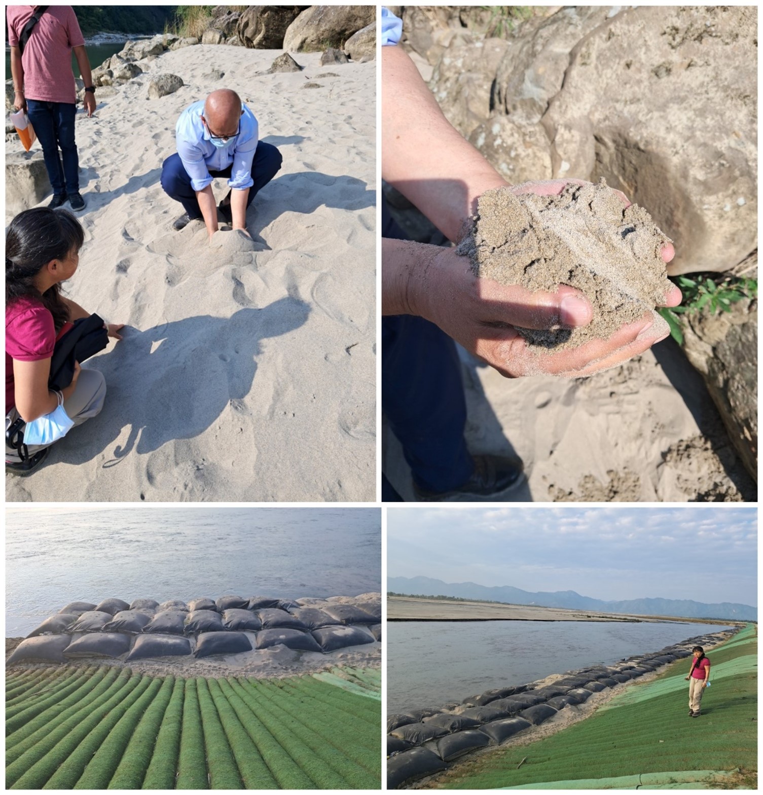
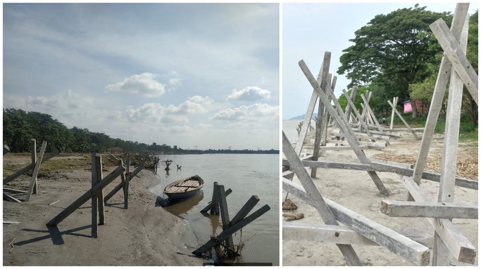
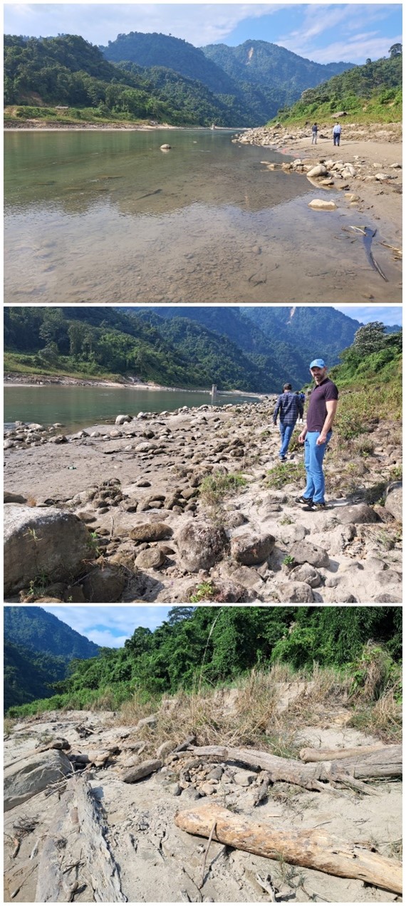
River Works investments will focus on protecting critical river stretches through anti-erosion measures, strengthening flood embankments, implementing emergency river works, and piloting nature-based solutions. These initiatives aim to safeguard communities at risk from catastrophic losses from embankment failures. The project will develop an action plan encompassing both structural and non-structural approaches for Flood Forecasting and Integrated Flood Risk Management Plan (IFRMPs) in eight tributary river basins in Assam, with a particular emphasis on stakeholder engagement and capacity building for women's effective and active participation. Additionally, support will be provided for WRD's forecasting, planning activities, and the preparation of a flood embankment asset management plan.
Disaster Risk Management
The project has five sub-components to enhance Assam's disaster mitigation, preparedness, response, and recovery capacity. It includes conducting an institutional assessment of village disaster management committees to address barriers hindering women's effective and active participation.
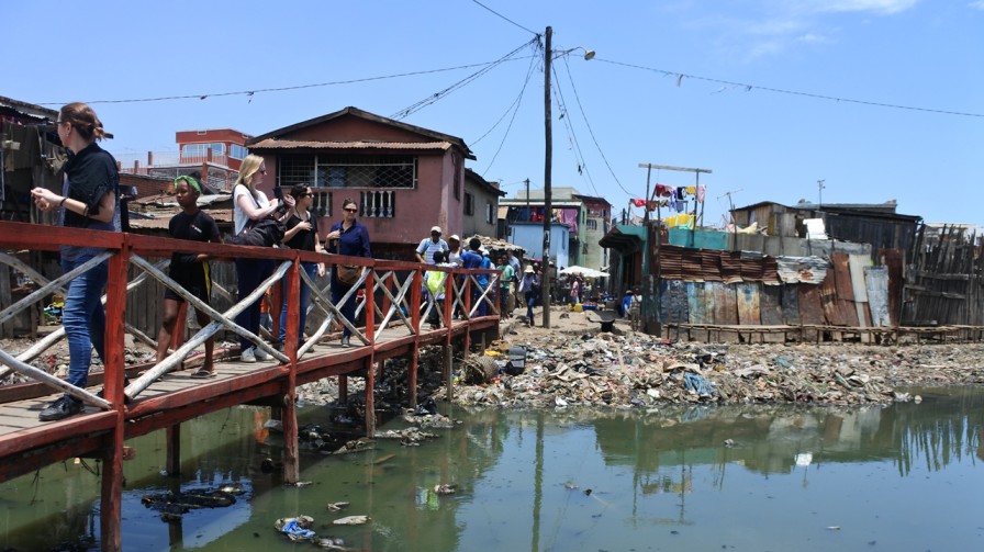
There are two main groups of beneficiaries. The first group comprises around 100,000 people living along the Beki and Buridehing rivers, who will experience reduced flood and river erosion risks, and approximately 10,000 people who will gain access to upgraded or new flood shelters. This group primarily consists of rural, poor individuals, including marginalized social groups. The second group includes an estimated 6,000,000 people benefiting from improved emergency alerts through the EWDS and 4,200,000 people benefiting from enhanced flood forecasting in the Beki, Buridehing, and Jiadhal basins.
The flood shelters, designed to accommodate specific needs, will house around 500 people each. The plan aims to pilot 25 new shelters with flood shelter committees, expanding to approximately 250 shelters based on lessons learned.
The EWDS will provide real-time geotagged alerts via various communication channels, including the cell phone network, simultaneously to multiple locations. The State EOC will be upgraded, and new EOCs will be established in at least 10 districts, with the goal of establishing cutting-edge state-level EOCs in all 35 districts and at least 30 percent of Assam's 154 revenue circles. The objective is to ensure that at least 75 percent of households in Assam receive cell-based, geo-referenced warnings. The program will also focus on training and equipping CQRTs for all 154 revenue circles in Assam.
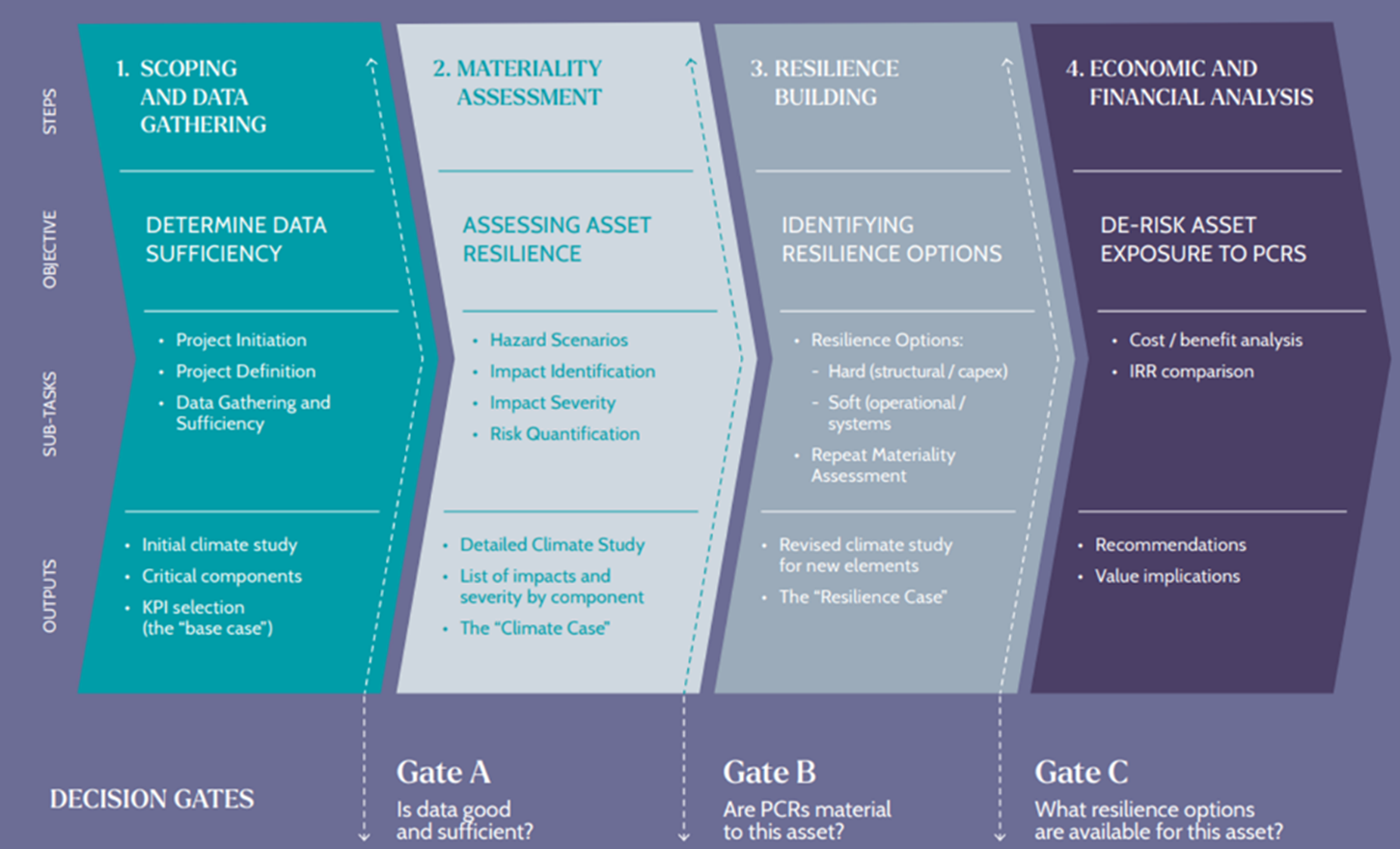
The following are the implementation challenges in course of strategy development:
This case study has been contributed by Royal HaskoningDHV
This Compendium of Good Practices on Disaster Resilient Infrastructure (DRI) has been compiled through content contributions from G20 member countries, invited countries and international organisations. The contents and views expressed in this website publication reflect the opinions of the contributing agencies and are not necessarily the official views of CDRI.