Background
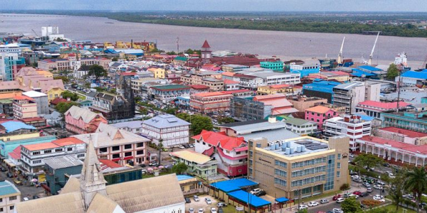
Floods are Guyana’s most damaging hazard. Global risk modelling puts the country’s average annual loss at roughly US$91.5 million, with flooding accounting for about 98 percent of it. Most of the population, the farmland and the drainage network sit on a low coastal plain, much of it at or below high-tide level. Each season, the agencies that manage flood risk face the same difficult questions:
- Where should we invest first to protect agricultural productivity from flooding?
- Where is additional infrastructure needed?
- How do we plan our operations and maintenance schedule ahead of the season?
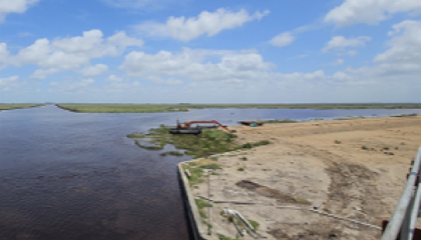
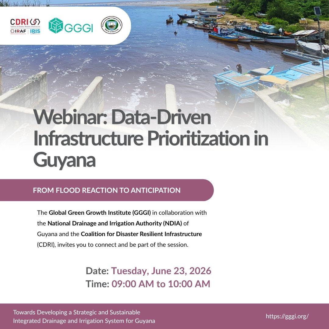
The Data Collection and Infrastructure Prioritization System (DCIPS) was built to help answer these questions with evidence. Developed under the CDRI-funded project “Developing Strategic Sustainable Integrated National Drainage and Irrigation Systems in Guyana” and implemented by the Global Green Growth Institute (GGGI) with the National Drainage and Irrigation Authority (NDIA), it combines a coastal flood-risk score with historical rainfall and CMIP6 climate projections to give every coastal area a single priority score. Each drainage and irrigation asset (a pump, sluice or channel) is assigned an effective service range of about 250 metres. When an asset is added or repaired, the priority list recalculates and the next most exposed area rises to the top.
The result is a dynamic, map-based dashboard that covers Guyana’s coastal regions, down to individual villages and farms. This webinar sets out how the system was developed, demonstrates the dashboard, and shares the practical lessons from building it with national partners.
Objectives
- Demonstrate how integrated geospatial data can guide drainage and irrigation (D&I) infrastructure investment and maintenance decisions;
- Walk through the DCIPS dashboard and its dynamic prioritization logic;
- Show how the system supports the move from reactive flood response to anticipatory action; and
- Share transferable lessons for other flood-exposed countries.
Target Audience
Disaster risk and resilience practitioners, drainage and irrigation engineers, GIS and remote-sensing specialists, climate adaptation officers, national disaster management agencies, development partners, and policymakers working in water resources and resilient infrastructure.
Project Overview: https://gggi.org/project/sustainable-integrated-di-systems-in-guyana/
Background
Floods are Guyana’s most damaging hazard. Global risk modelling puts the country’s average annual loss at roughly US$91.5 million, with flooding accounting for about 98 percent of it. Most of the population, the farmland and the drainage network sit on a low coastal plain, much of it at or below high-tide level. Each season, the agencies that manage flood risk face the same difficult questions:
- Where should we invest first to protect agricultural productivity from flooding?
- Where is additional infrastructure needed?
- How do we plan our operations and maintenance schedule ahead of the season?
The Data Collection and Infrastructure Prioritization System (DCIPS) was built to help answer these questions with evidence. Developed under the CDRI-funded project “Developing Strategic Sustainable Integrated National Drainage and Irrigation Systems in Guyana” and implemented by the Global Green Growth Institute (GGGI) with the National Drainage and Irrigation Authority (NDIA), it combines a coastal flood-risk score with historical rainfall and CMIP6 climate projections to give every coastal area a single priority score. Each drainage and irrigation asset (a pump, sluice or channel) is assigned an effective service range of about 250 metres. When an asset is added or repaired, the priority list recalculates and the next most exposed area rises to the top.
The result is a dynamic, map-based dashboard that covers Guyana’s coastal regions, down to individual villages and farms. This webinar sets out how the system was developed, demonstrates the dashboard, and shares the practical lessons from building it with national partners.
Objectives
- Demonstrate how integrated geospatial data can guide drainage and irrigation (D&I) infrastructure investment and maintenance decisions;
- Walk through the DCIPS dashboard and its dynamic prioritization logic;
- Show how the system supports the move from reactive flood response to anticipatory action; and
- Share transferable lessons for other flood-exposed countries.
Target Audience
Disaster risk and resilience practitioners, drainage and irrigation engineers, GIS and remote-sensing specialists, climate adaptation officers, national disaster management agencies, development partners, and policymakers working in water resources and resilient infrastructure.
Project Overview: https://gggi.org/project/sustainable-integrated-di-systems-in-guyana/
See Less