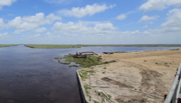
Guyana’s drainage and irrigation (D&I) infrastructure can be considered the lifeline of the country as it sustains more than 90% of the population and nearly all of the productive agricultural lands, in addition to mitigating climate-induced flood risks. However, much of the system needs rehabilitation, with poor river gradient flow, inadequate drainage capacity, and operational challenges. Climate change has also intensified these challenges, increasing the frequency of extreme rainfall, prolonged droughts, and rising sea levels, which threaten both food security and infrastructure stability. For instance, under the IPCC’s SP2 scenario using the 83rd percentile projection, sea level rise in Guyana is estimated at approximately 0.18 metres by 2030, increasing to 0.37 metres by 2050 and reaching 0.71 metres by 2080. These projections underscore the increasing risk to Guyana’s low-lying coastal areas, where even moderate sea level rise can significantly compromise the reliability and performance of drainage and irrigation systems, exacerbate saline intrusion into agricultural lands and increase the frequency of coastal flooding events.
Against this backdrop, this webinar will focus on assessing flood risk distribution as a basis for identifying priority locations where passive NbS approaches – such as wetlands, vegetated drainage channels, and riparian buffers – can effectively complement traditional flood measures. Through practical examples and applied analysis, the webinar will illustrate how such approaches can reduce flood peaks, improve water retention, and enhance overall system resilience while remaining compatible with NDIA’s operational requirements.
The primary target audience for this webinar includes NDIA engineers and technical staff responsible for drainage and irrigation design, operation, and maintenance, as well as professionals from government agencies engaged in climate adaptation, water resources management, and disaster risk reduction.
See Less